NUBiP of Ukraine received the most up-to-date photogrammetry software from the Swiss company Pix4D
Thanks to the participation of representatives of the University in the International Conference-Exhibition INTERGEO 2025, held in Frankfurt (Germany), the National University of Life and Environmental Sciences of Ukraine received one of the world's best software products for photogrammetry — PIX4Dmatic and PIX4Dsurvey from the Swiss company Pix4D.
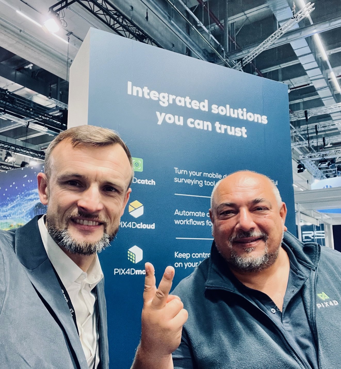
At the event NUBiP of Ukraine was presented by the head of the department of land management design Andriy MARTYN and acting head of the department of geodesy and cartography Taras YEVSYUKOV. During negotiations with representatives of the company Flavio VITELLO and his colleague Philip ROLL an agreement was reached to provide the University with free licensed PIX4Dmatic and PIX4Dsurvey software for educational and research processes. For comparison, the cost of an annual subscription to these software products today is about 180 thousand hryvnias (about 5 thousand euros). Thus, obtaining free licenses is an important event for the University and its students.
Pix4D is a leading Swiss company that is a global leader in developing software solutions for photogrammetry and 3D mapping. Pix4D products allow you to digitize reality and perform high-precision measurements based on images taken from airplanes, drones, smartphones or other cameras. For example, Pix4Dmatic is a state-of-the-art solution for processing large volumes of aerial photos and building point clouds with centimeter accuracy, Digital Terrain models, and orthophotoplanes. Pix4Dsurvey is a tool for vectorizing and analyzing the obtained models, creating topographic plans, elevation contours, terrain profiles, and other vector data for use in CAD and GIS environments.
Thanks to these solutions, students, Masters, postgraduates and scientists of NUBIP will be able to perform a full cycle of photogrammetric work — from a drone flight to a ready-made map, create digital 3D models of territories, objects and infrastructure, and develop skills that are in demand in the world's leading geodetic, engineering and agricultural companies.
The use of software solutions in the educational process — the world's leading companies in the field of photogrammetry and professional mapping will certainly contribute to improving the quality of education and provide training for highly qualified specialists in the specialty "Geodesy and land management".
Getting access to Pix4Dmatic and Pix4Dsurvey is another step towards the integration of NUBiP of Ukraine into the global scientific and educational space and the development of modern geographic information education.