
NUBiP of Ukraine and the University of Agriculture in Krakow Join Forces for the Future of Geodesy
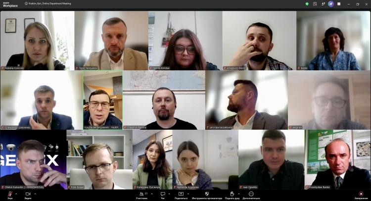
Ukrainian and Polish specialists in geodesy, cadastre, photogrammetry and land management are turning years of professional contacts into systematic cooperation, with joint research, academic visits, an international webinar, publications and student exchange among the planned activities.
European integration is measured not only by the number of international projects or agreements. It is also built through people, academic mobility, joint research and the ability to address common challenges together.
For NUBiP of Ukraine, cooperation with Polish universities has particular importance. In the context of Russia’s full-scale war against Ukraine, international academic solidarity and the preservation of an open European educational and research space are more important than ever.
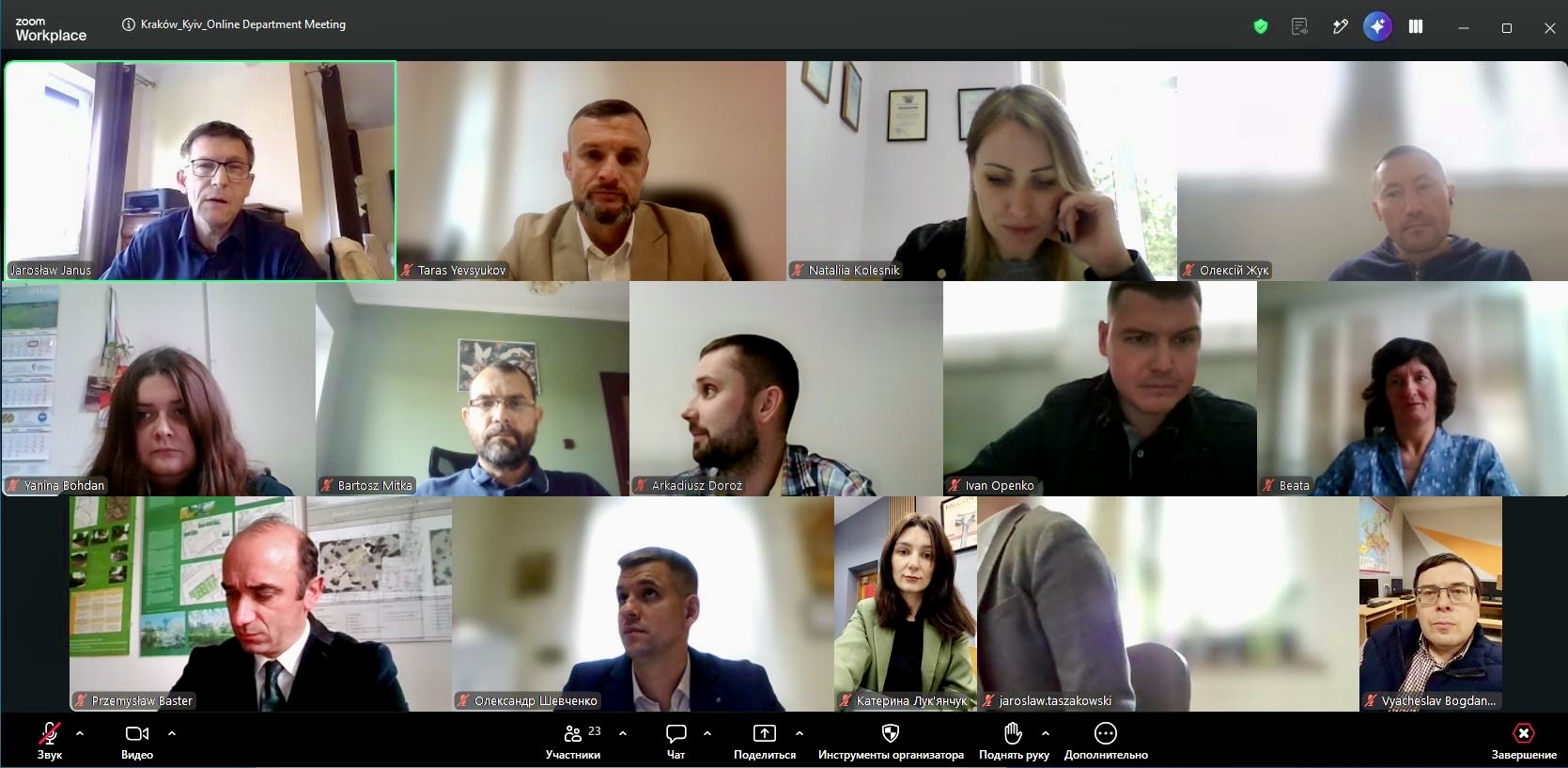
Against this backdrop, on 9 October 2026, the first joint online meeting was held between the Department of Geodesy and Cartography at NUBiP of Ukraine and the Department of Agricultural Geodesy, Cadastre and Photogrammetry at the University of Agriculture in Krakow (URK).
The meeting marked an important step from long-standing professional contacts towards a structured, long-term partnership between the two departments.
The cooperation builds on several years of professional interaction within international academic networks and initiatives.
Professor Taras IEVSIUKOV, Head of the Department of Geodesy and Cartography at NUBiP, and Professor Jarosław JANUS, Head of the Department of Agricultural Geodesy, Cadastre and Photogrammetry at URK, have worked together for years within the FAO-supported LANDNET network.
The NUBiP-Krakow connection also involves other academics, including Professor Jacek PIJANOWSKI, who has cooperated with Ukrainian universities since 2023 through the German-Ukrainian Agricultural Policy Dialogue, sharing Polish experience in rural development.
Thus, the meeting was a natural next step: turning established personal and professional relationships into institutional cooperation between the two departments.
Presenting the NUBiP department, Professor Taras IEVSIUKOV highlighted its strong academic team of four professors, five associate professors and five assistants. The department provides teaching not only for students of Geodesy and Land Management, but also for Architecture, Construction and Civil Engineering, Forestry, Landscape Architecture and other programmes. Alongside teaching and field training, academic staff supervise master's and PhD research.
The department's research increasingly focuses on digital technologies, GIS, Earth observation and remote sensing, GNSS, artificial intelligence, precision agriculture and digital twins.
Associate Professor Viacheslav BOHDANETS presented the faculty's educational facilities, software, practical training and international activities. Assistant Kateryna LUKIANCHUK then gave participants a virtual tour of the AlphaGEO LAB, demonstrating modern geodetic equipment used in education and research.
The importance of linking university education with the professional sector was highlighted by Oleksii KUTSENKO, Head of GeoFix, who spoke about practical projects, students' professional experience and employment opportunities.
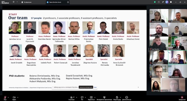
Professor Jarosław JANUS presented the Department of Agricultural Geodesy, Cadastre and Photogrammetry at URK.
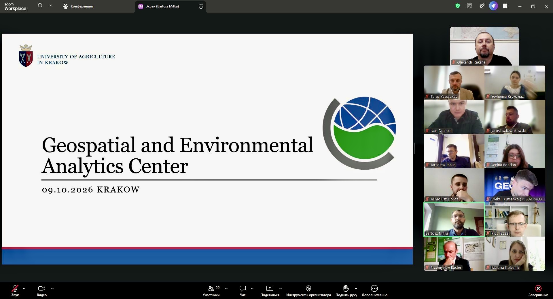
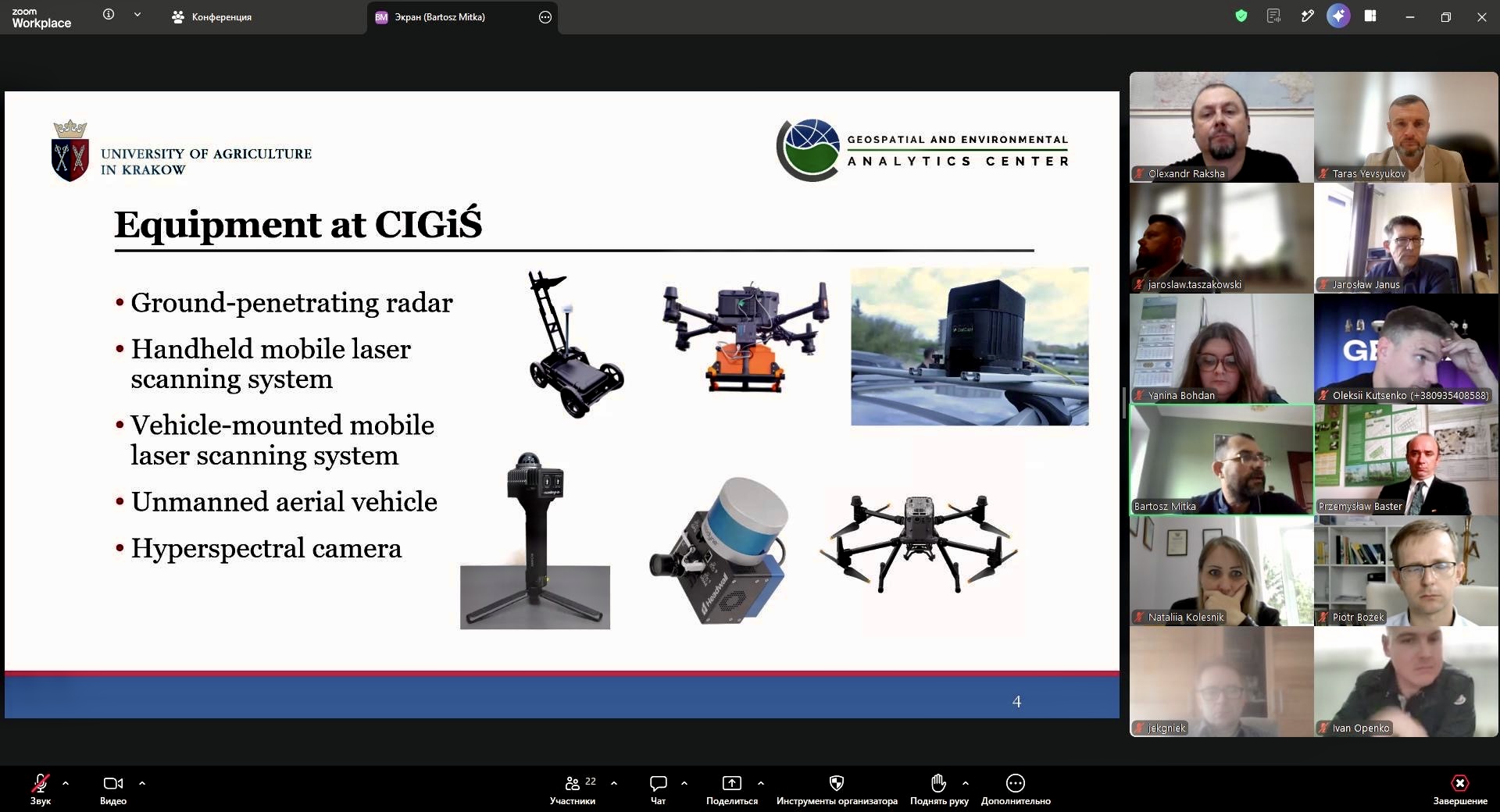
Particular interest was generated by the presentation of the Center for Geospatial and Environmental Analysis (CIGiŚ URK) by Dr. Hab. Eng. Bartosz MITKA, Professor at URK.
The Polish colleagues demonstrated modern approaches to geospatial research, including terrestrial laser scanning and UAV technologies using full-frame, multispectral and thermal cameras.
The exchange was especially valuable because the two departments share many research interests. During the discussion, participants identified several promising areas for joint work, including:
- land consolidation and land administration;
- cadastral digitalisation and geospatial data;
- aerial photography and Earth observation for agricultural monitoring;
- GNSS and modern surveying technologies;
- SLAM scanning and 3D modelling;
- digital documentation and preservation of cultural heritage.
The Polish experience in land consolidation is particularly relevant for Ukraine as it develops new approaches to rural spatial development and post-war recovery.
A key outcome of the meeting was agreement on a concrete cooperation roadmap for 2026-2027. The planned activities include:
- a long-term framework agreement between the two departments;
- academic visits and staff exchange;
- a joint international webinar in early 2027;
- at least two joint scientific publications;
- cooperation in SLAM, 3D modelling and digital cultural heritage;
- exchange of experience in cadastre and land consolidation;
- preparation of a Polish-Ukrainian student exchange project and Summer School 2027;
- exploration of joint international research proposals.
Cooperation between young researchers and PhD students, including joint seminars, short-term academic visits and internships, is also expected to become an important part of the partnership.
The aim is therefore not a one-time meeting, but the creation of a lasting academic cooperation channel between the two departments.
Modern geodesy is no longer limited to surveying. It connects spatial data, artificial intelligence, satellite technologies, remote sensing, cadastre, spatial planning, digital twins, 3D modelling and precision agriculture.
For NUBiP of Ukraine, cooperation with European partners is an important part of developing this new generation of geospatial education and research.
Ukraine and Poland have different experiences and face different challenges. This makes cooperation especially valuable: the goal is not simply to exchange existing knowledge, but to combine expertise and develop new solutions together.
The first joint meeting between the departments in Kyiv and Krakow has opened this new chapter.
From professional contacts to joint research. From academic dialogue to student exchange. From individual cooperation to a long-term Ukrainian-Polish partnership.
This is how the European university of the future is built — through people, knowledge and shared action.