
NUBiP of Ukraine summarizes the results of the Erasmus+ AGROPATH working week at the University of Maribor
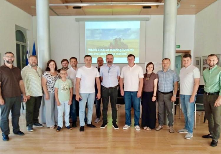
From 24-28 August 2026, the Faculty of Agriculture and Life Sciences at the University of Maribor (Slovenia) hosted the international working week of the Erasmus+ project AGROPATH — Advanced Geomatics and Remote Observation for Precision Agriculture in Higher Education. The event brought together academic staff, researchers, and project coordinators from universities in Poland, Ukraine, Moldova, Slovenia, Greece, and Hungary to strengthen cooperation in geomatics, Earth observation, and precision agriculture.
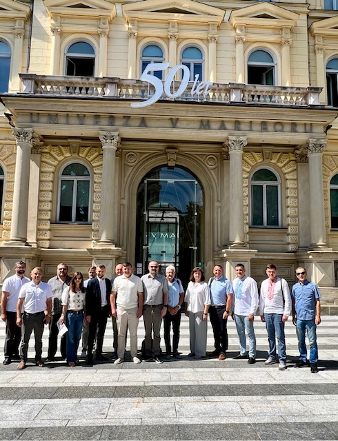
The National University of Life and Environmental Sciences of Ukraine (NUBiP of Ukraine) was represented by Professor Taras IEVSIUKOV, Head of the Department of Geodesy and Cartography and AGROPATH Project Coordinator at NUBiP, together with Professor Ivan OPENKO, Deputy Dean of the Faculty of Land Management and Professor of the Department of Geodesy and Cartography.
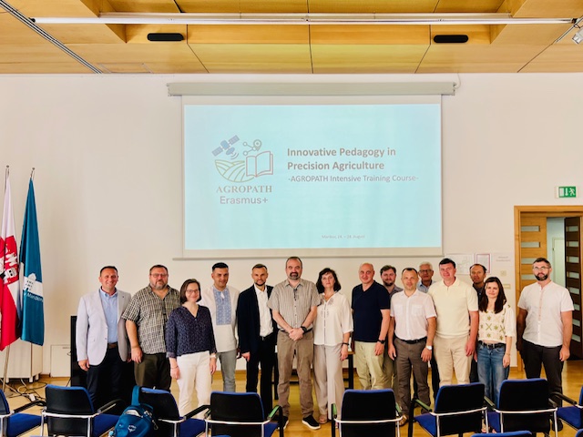
The working week combined two complementary activities that are central to the successful implementation of AGROPATH.
The first was the AGROPATH Intensive Training Course – Innovative Pedagogy in Precision Agriculture (24-28 August), designed to enhance the professional competencies of university lecturers and promote innovative teaching methods in geospatial education.
The second was the Project Management Group Meeting (27-28 August), where consortium partners reviewed the current progress of the project, evaluated the implementation of individual work packages, discussed institutional achievements, and agreed on the next strategic milestones for the Erasmus+ programme.
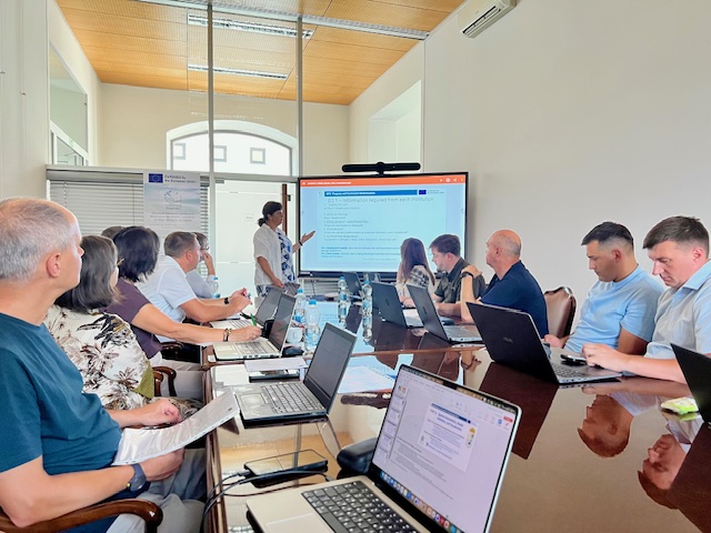
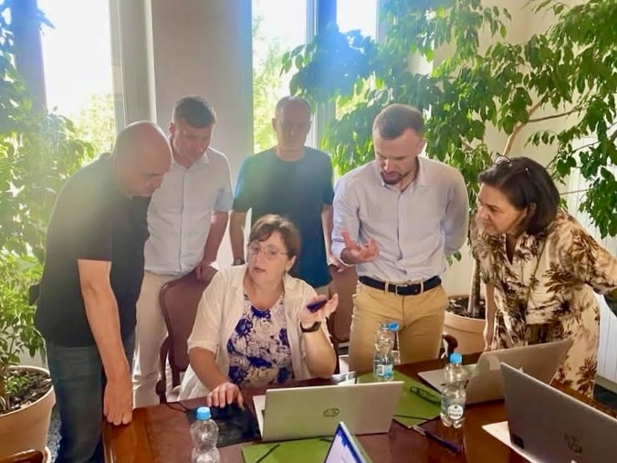
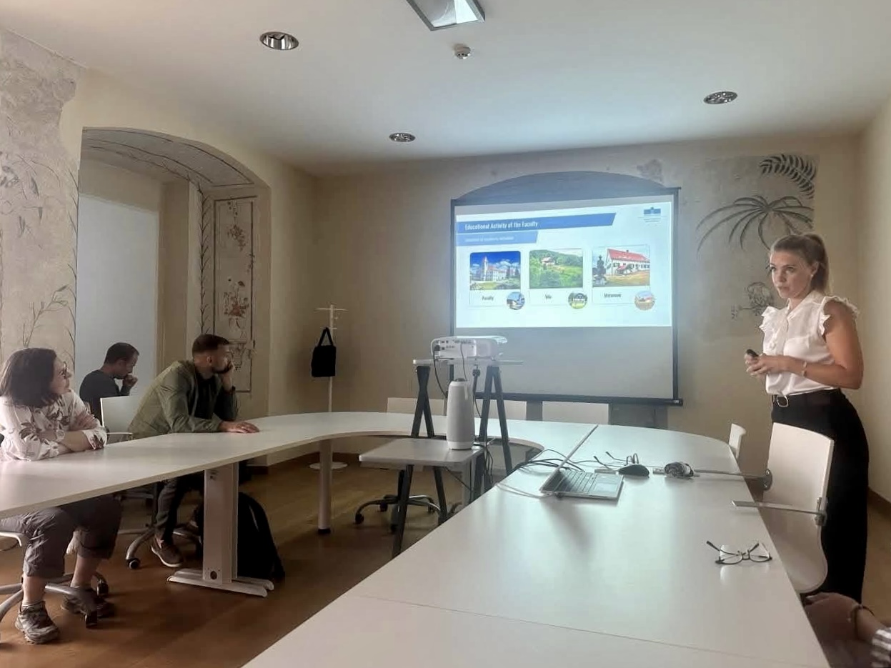
As the project coordinator at NUBiP, Professor Taras IEVSIUKOV presented the university’s progress and participated in coordinating future consortium activities.
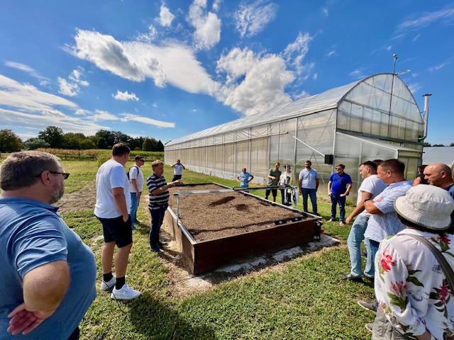
The intensive training course followed the European “learning by doing” approach, combining expert lectures with laboratory demonstrations, field exercises, and practical work on experimental agricultural sites.
Participants gained hands-on experience in: GNSS and high-precision geodetic surveying; Unmanned Aerial Vehicles (UAVs) and robotic systems; Geographic Information Systems (GIS) and spatial data analysis; Precision agriculture technologies; International teamwork and field-based research.
A strong emphasis was placed on innovative pedagogy, digital learning resources, and practice-oriented education aligned with the standards of the European Higher Education Area.
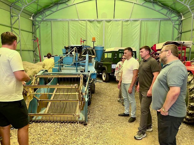
One of the most technically intensive sessions was delivered by Professor Peter VINDIŠ together with Damijan KELC, focusing on smart and precise agricultural machinery.
Participants explored the principles of GPS and Galileo satellite navigation, positioning errors and correction methods, as well as the practical application of EGNOS, RTK, network reference stations, and the NTRIP protocol. These technologies enable agricultural machinery to operate with centimetre-level positioning accuracy, significantly improving operational efficiency.
The discussions also covered stationary, mobile, and virtual reference stations, real-time RTK corrections transmitted via mobile networks, and the integration of inertial sensors for terrain compensation.
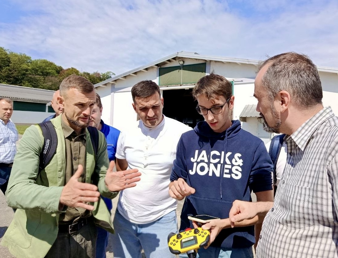
Equally important was the analysis of the economic benefits of precision agriculture, demonstrating how accurate navigation reduces overlaps and omissions during field operations, resulting in lower consumption of seed, fertilizers, crop protection products, and fuel while increasing machinery productivity.
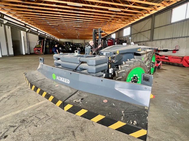
Professor Jurij RAKUN introduced participants to the latest developments in agricultural robotics and autonomous field platforms designed for automated farming operations. The future of Smart Farming was further explored by Professor Miran LAKOTA, who presented the transition from precision agriculture toward fully digital and intelligent agricultural systems driven by automation, sensor technologies, and data-based decision-making.
Sustainable land management and geospatial decision support were addressed by Professor Denis STAJNKO, highlighting the growing importance of spatial information in agricultural management.
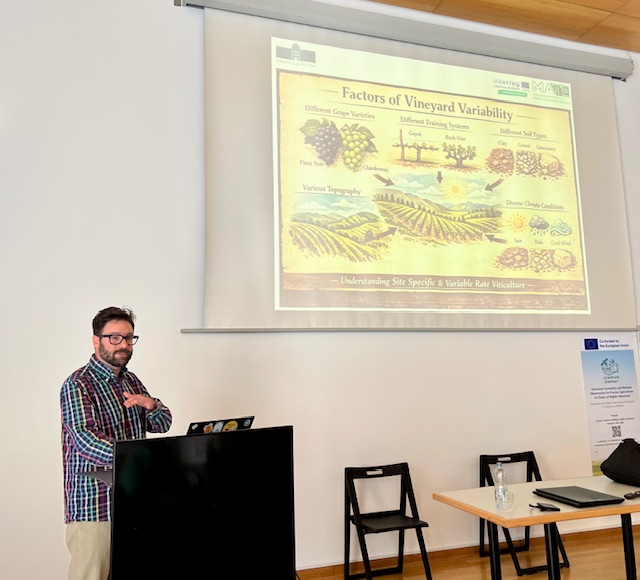
Special attention was also devoted to precision viticulture. Peter BERK and Professor Peter BODOR demonstrated the application of RGB-based remote sensing for vineyard monitoring, digital reconstruction of vine plantations, and the assessment of plant physiological conditions using image analysis.
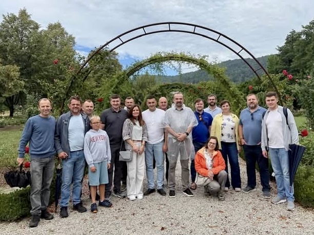
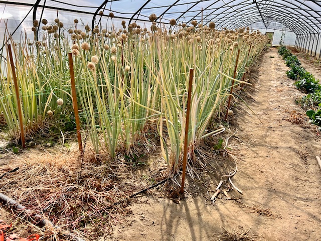
The practical programme, led by Peter LEPEJ and Benjamin ZALOŽNIK, included field visits to the University of Maribor’s experimental fields, the Botanical Garden, commercial farms near Ptuj, and the Agricultural Institute of Slovenia.
Participants observed autonomous agricultural robots operating under real farming conditions and explored LiDAR systems, machine vision cameras, intelligent sensors, autonomous navigation, and safety mechanisms for robotic platforms. These demonstrations provided valuable insight into the practical implementation of advanced technologies in modern agriculture.
During the Project Management Group Meeting, Professor Taras IEVSIUKOV presented the progress achieved by NUBiP of Ukraine, including: monitoring of project implementation; modernization of educational programmes; procurement of modern surveying equipment and software; implementation of institutional work packages.
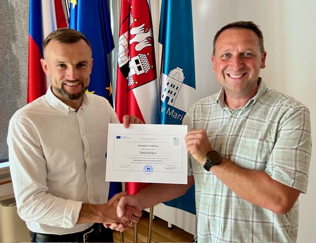
The consortium also approved the roadmap for the next phase of the project and confirmed that one of the upcoming international activities will be the joint online webinar «Modern Obligatory Skills and Knowledge in Geomatics and Precision Agriculture», scheduled for October 2026.
The University of Maribor once again demonstrated its role as a key partner within the AGROPATH consortium, providing an excellent platform for knowledge exchange between educators, researchers, and industry experts.
For NUBiP of Ukraine, participation in AGROPATH is strategically important. The project supports the modernization of curricula, the adoption of innovative teaching methodologies, the expansion of academic mobility, and the strengthening of international cooperation within the Faculty of Land Management.
The outcomes of the Maribor working week will directly contribute to the development of new educational resources and the preparation of a new generation of professionals in geodesy, geoinformatics, remote sensing, and precision agriculture in line with the best European practices.